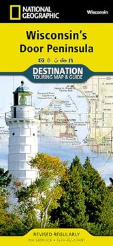
Reseña del libro "Wisconsin's Door Peninsula (National Geographic Destination Map) (en Inglés)"
- Waterproof - Tear-Resistant - Travel MapNational Geographic's Wisconsin's Door Peninsula Destination Map strikes the perfect balance between travel map and guidebook and is an ideal resource for touring this culturally and geographically unique region.Side one contains an enhanced road map with beautiful shaded relief, bringing the varied terrain and lake floor in this region to life. Parks, lighthouses, beaches, wineries, and other unique places to visit are clearly marked. Ferry routes, airports, boat ramps, and other important transportation facilities are also included. A detailed inset map of Sturgeon Bay, will help guide you through this historical waterfront town that has earned national recognition. Side two is a beautiful guide to the region with photos and inset maps that includes information on how to get there, locations of visitor arts and cultural activities, kayaking (with a kayak launch site chart), lighthouses, boat access sites, golf courses, campgrounds, fishing and local historyKey features: Double-sided map and guide containing detailed maps and useful travel informationMaps include a comprehensive road network, local infrastructure, and abundant natural, historical, and cultural placesBeautiful photographs and valuable travel information aids travelers with pre-trip planning and on-the-ground adventuresEvery Destination Map is printed on durable synthetic paper, making them waterproof, tear-resistant and tough -- capable of withstanding the rigors of any kind of travel.Map Scale = 1:129,660Sheet Size = 25.5" x 37.75"Folded Size = 4.25" x 9.25"

